The Aravalli Range: Restoring a 2.5-Billion-Year-Old Life Support System
The Aravalli Range is among the world’s oldest geological features, stretching 692 km from Palanpur in Gujarat through Rajasthan and Haryana to Delhi. For eons, this mountain system has acted as a primary ecological barrier against the expansion of the Thar Desert and a critical watershed for Northwest India.
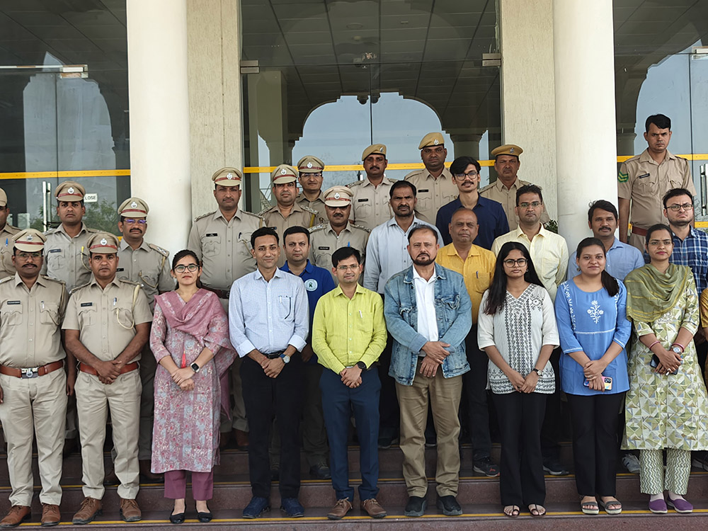
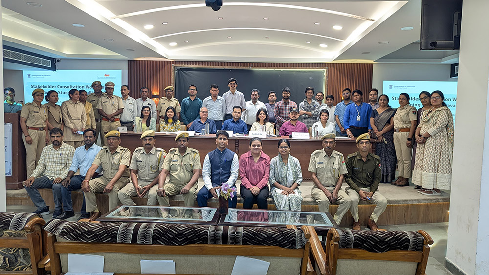
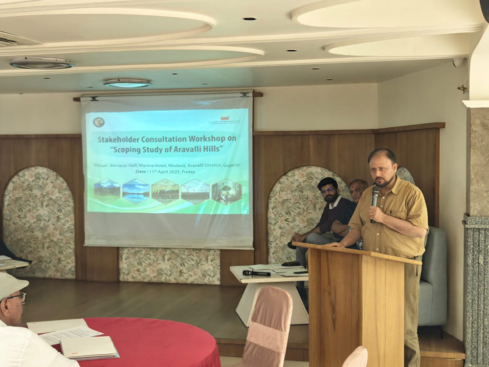
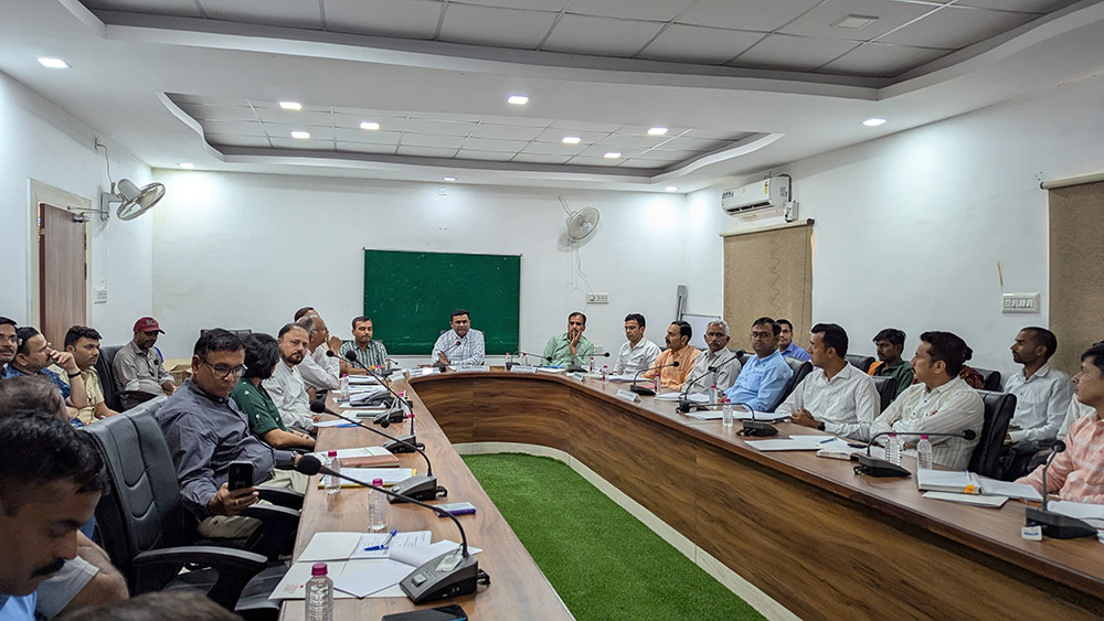
To assess the current health of this vital range, TERI’s Land Resources Division conducted a comprehensive six-month scoping study. By integrating satellite RS-GIS analysis with literature reviews and stakeholder consultations across five districts, the study provides a sobering look at the scale of degradation and a roadmap for science-based restoration.
The Crisis: Ecosystems Under Stress
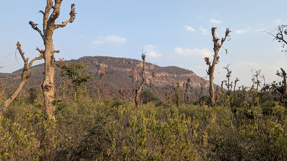
The scoping study reveals that the Aravallis are currently facing unprecedented ecological strain driven by rapid urbanization, mining, and unsustainable land use.
- Vanishing Forests: Over the last decade, the range has seen a net forest loss of 1,654 sq. km. Much of this land has been converted into agricultural plots or 'built-up' urban areas.
- Land Degradation: GIS analysis confirmed that over 27,000 sq. km of the range is under environmental stress, with long-term productivity in a state of decline across more than 11,000 sq. km.
- The Groundwater Imbalance: Water stress has reached a tipping point. In Rajasthan, the stage of groundwater extraction has surged beyond 150 per cent, meaning water is being pulled out much faster than it can naturally recharge. While Gujarat shows more resilience with an extraction stage of 53.23 per cent, the overall regional trend points toward a growing hydrological deficit.
A Roadmap for Ecological Rejuvenation
TERI’s recommendations move beyond simple tree planting, focusing instead on nature-based solutions tailored to the specific micro-climates of the range:
1. Hydrological Revival
To address water security, the study emphasizes the rejuvenation of traditional wisdom alongside modern engineering:
- Restoring ancient water harvesting structures like Baoris (stepwells) and Kunds.
- Reviving major water bodies such as Jaisamand Lake.
- Implementing long-term rejuvenation plans for seasonal rivers like the Ruparail.
2. Habitat-Specific Restoration
The Aravallis are not a monolith; they require diverse management strategies:
- Grassland & Savannah Management: Restoring the "Birs" (local semi-savannahs) and grasslands in the central and southern regions.
- Invasive Species Control: A phased, three-year rotational plan to eradicate Prosopis juliflora, an invasive shrub that outcompetes native flora.
- Mine Rehabilitation: Specialized restoration of abandoned mining sites to prevent further soil erosion and chemical runoff.
Community-Led Conservation
The success of these interventions hinges on the people who live within the range. TERI advocates for a restoration model that empowers local communities and honors traditional knowledge:
- Empowering JFMCs: Strengthening Joint Forest Management Committees to lead local conservation.
- Sacred Groves (Orans): Providing formal support to communities protecting the 100+ identified Orans across Rajasthan and Gujarat—sites that are vital for both biodiversity and cultural heritage.
- Agroforestry & Livelihoods: Encouraging farmers to adopt multifunctional agroforestry systems. This not only improves soil and water health but also creates sustainable income streams, ensuring that ecological resilience goes hand-in-hand with community well-being.
The Aravallis are more than just hills; they are a critical climate regulator for Northern India. TERI’s study underscores that while the degradation is widespread, it is not irreversible. By combining GIS-backed science with the traditional ecological knowledge of tribal communities, India can ensure this ancient range continues to protect the subcontinent for another billion years.