

Development of Flood Warning System for Guwahati and Jorhat Towns
Work Package 4
Objective
The objective of the work included:
- Identification of flood hotspots and mapping flood risk zones
- Developing improved information sources for controlling flood risk
- Managing flood hazards and risk through a near real-time flood risk mapping for identified hotspots using different extreme
- Monitoring rainfall scenario and to develop a web based flood prediction advisory tool for early warning.
Main Activities
-
Hydro-Meteorological Data Collection, Field work and Stakeholder Consultation
-
Spatial Data creation and Mapping
-
Meteorological Data Analysis and generation of flood scenarios
-
Hydrological Modelling and Flood Simulation
-
Model Testing and Validation
-
GUI Development
-
GUI Training Workshop
The project activity involved situation analysis and field investigation; spatial information collection of existing drainage and other hydrological features in Guwahati. The work entailed collaboration with ASDMA (Assam Disaster Management Authority), state District administration for information/ data collection, sharing and feedback. NESAC Meghalaya was also approached for collaboration and support in satellite data collection. Community interaction was also carried out to understand the flooding issues and public concerns. TERI signed an MoU with IMD (India Meteorological Department) to seek their support in providing Hydro-met data and Weather forecast for Flood Early Warning System Development.
Norwegian Partner: NORCE
Achievements
The climate modelling work has generated novel knowledge that will enable improved understanding of climate processes and its linkages at regional scales especially under the growing extreme climate event narrative, using state-of-art dynamical modelling products and statistical downscaling techniques. Specifically, the local level climate information provided by the climate atlas and that through the flood warning system will help in the development of extreme climate information for future periods and lead to better decision making and planning, both at sub-national and local level, including in case of extreme events. The multi- temporal forecasting system has been developed using Maximum Covariance Analysis (MCA) tool to capture extreme weather patterns over India with a lead time of 30-40 days in advance and thus give reasonable time to prepare for expected natural disasters.
Publications
- Briefing paper
- Development of Urban Flood Early Warning System
- Media Coverage
- TERI Launches Climate Atlas to Boost Planning
Sustainability Next, 11 November 2020 - ASDMA launches urban early warning systems
The Sentinel, 16 October 2020 - ASDMA Launches Early Flood Warning System
Headline 8, 16 October 2020 - Energy and Resources Institute launches climate atlas to assist policy planning at regional level
ET Energy World, 16 October 2020 - Guwahati Gets Automated Early Warning System for Flood
Guwahati Plus, 15 August 2020 - Energy and Resources Institute launches climate atlas to assist policy planning at regional level
The Economic Times, 15 October 2020 - Energy and Resources Institute launched climate atlas to assist policy planning at regional level
Daily Mail India, 15 October 2020 - Jorhat gets Urban Flood Early Warning System
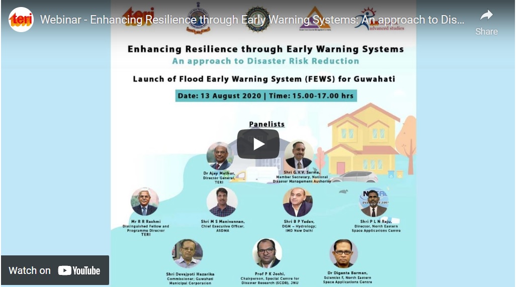
Time 8, 15 October 2020 - TERI launches flood and heavy rain warning system for Guwahati, in collaboration with NDMA
The Economic Times, 13 August 2020 - Guwahati gets automated early warning system to predict urban floods
The Times of India, 13 August 2020 - TERI and NDMA launch Flood Early Warning System (FEWS) to predict floods in Guwahati
United News of India, 13 August 2020 - India Early Warning system for floods launched for Guwahati
Outlook, 13 August 2020 - Guwahati gets an experimental Flood Warning System
The Wire, 10 August 2020
- TERI Launches Climate Atlas to Boost Planning
Events
Training on Flood Early Warning System for Guwahati City
Date: 22 June 2021
Participating agencies included Assam State Disaster Management Authority; Water Resource Department, Government of Assam; Regional Meteorological Centre, IMD; Guwahati Municipal Corporation; Guwahati Metropolitan Development Authority; Office of the District Commissioner of Kamrup Metro district; Assam Water Research and Management Institute; Central Water Commission; Indian Meteorological Department; and North Eastern Space Application Centre
Contact
Mr. Amrita Kumar Jha,Associate Fellow, TERI
amrita.jha@teri.res.in